I’ve been working with a utility that is acquiring three smaller utilities. The utility I’m working with assigns account numbers by address, whereas the utilities being acquired assign them randomly. They requested my assistance with assigning new account numbers by address.
To do this, I created a Google Map of all the addresses and used it to sequence the new account numbers. The General Manager was impressed that I could import addresses and create my own Google Map, so I thought it might be helpful to write a blog post explaining the process.
Google has a product called MyMaps that makes this possible. You need a Google account because MyMaps uploads your data to Drive and saves the map there. You can start with an Excel spreadsheet or a CSV file with the addresses to be mapped, but it must include column headings.
Let’s make a map!
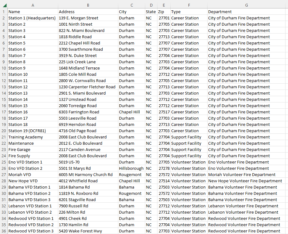
I didn’t want to use real customer data, so I asked Claude (yes, I use AI for inspiration!) to suggest a publicly available, localized dataset to demonstrate the process. Claude suggested libraries and fire stations, but because Durham County has only seven libraries, I chose fire stations, which number 35. Claude was kind enough to create the file for me and cite the sources – the City of Durham’s official station listing (durhamnc.gov) and Durham County Emergency Services’ fire departments page (dconc.gov).
Here is the CSV file Claude created (clicking on the image will open a larger version in a new window):
Let’s get started…
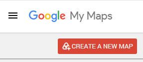
Click CREATE A NEW MAP.
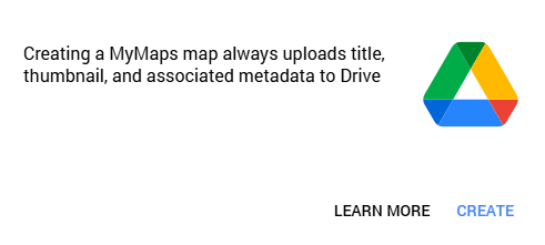
Acknowledge that MyMaps will upload your data to Drive by clicking CREATE.
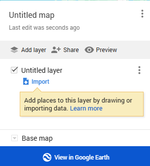
Click Import.
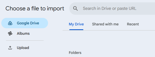
If your input file is located on Drive, navigate to it; otherwise, click Upload.
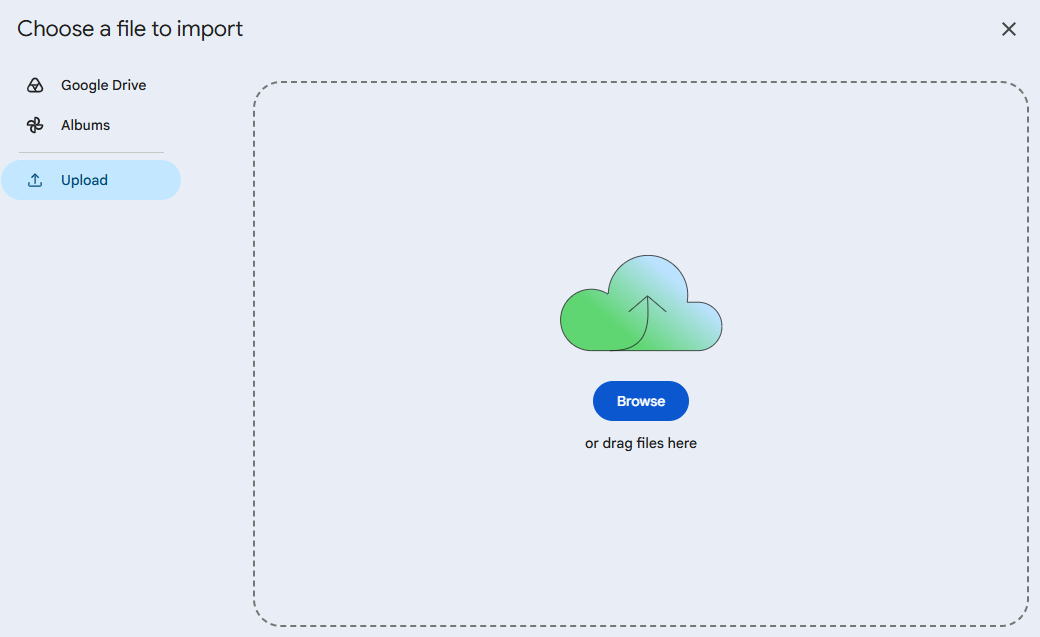
If you clicked Upload, navigate to the file on your computer or drag and drop it onto the upload screen.
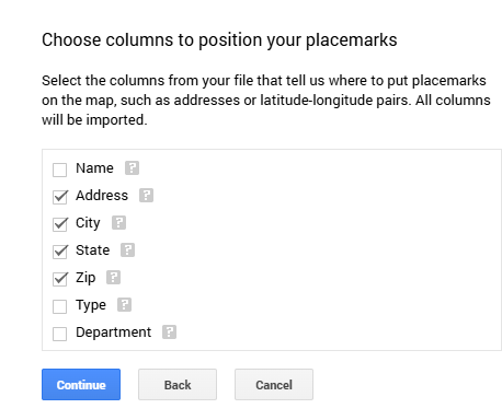
Choose the columns that represent the address fields. These can be in a single field or in separate fields, as in my file.
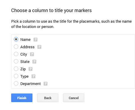
Next, select a column to use as the title for the address pins, then click Finish.
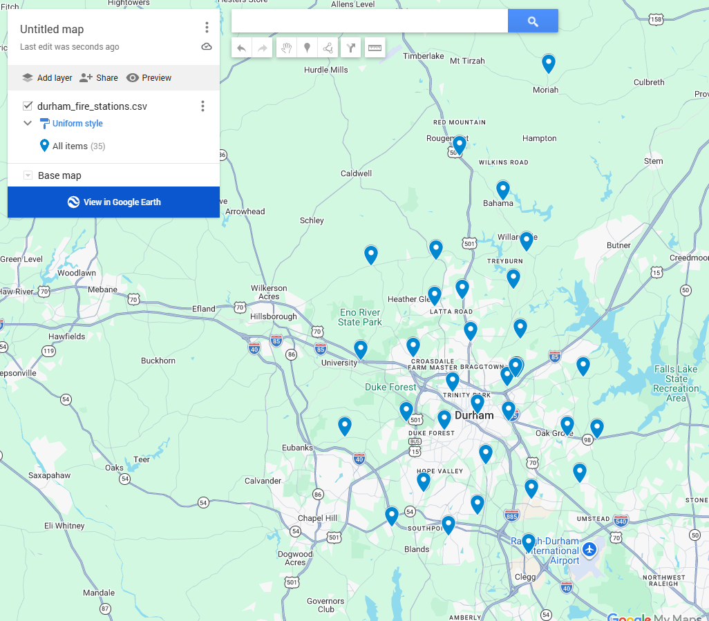
And here’s your map!
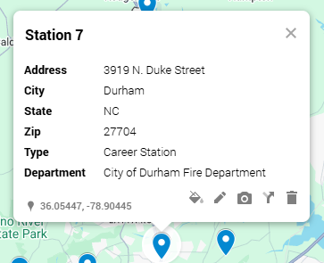
The initial map has a pin for each address, and clicking any pin pops up a small window showing all the data for that pin.
Improving the map
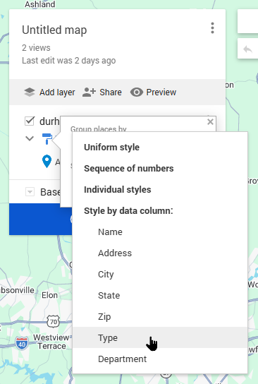
If your data includes a column that describes the pin, as the Type column does in my data, and you want to use it to display pins in different colors, click Uniform style.
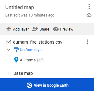
Then select the field you want to use to set the color of the pins, in this case, Type.
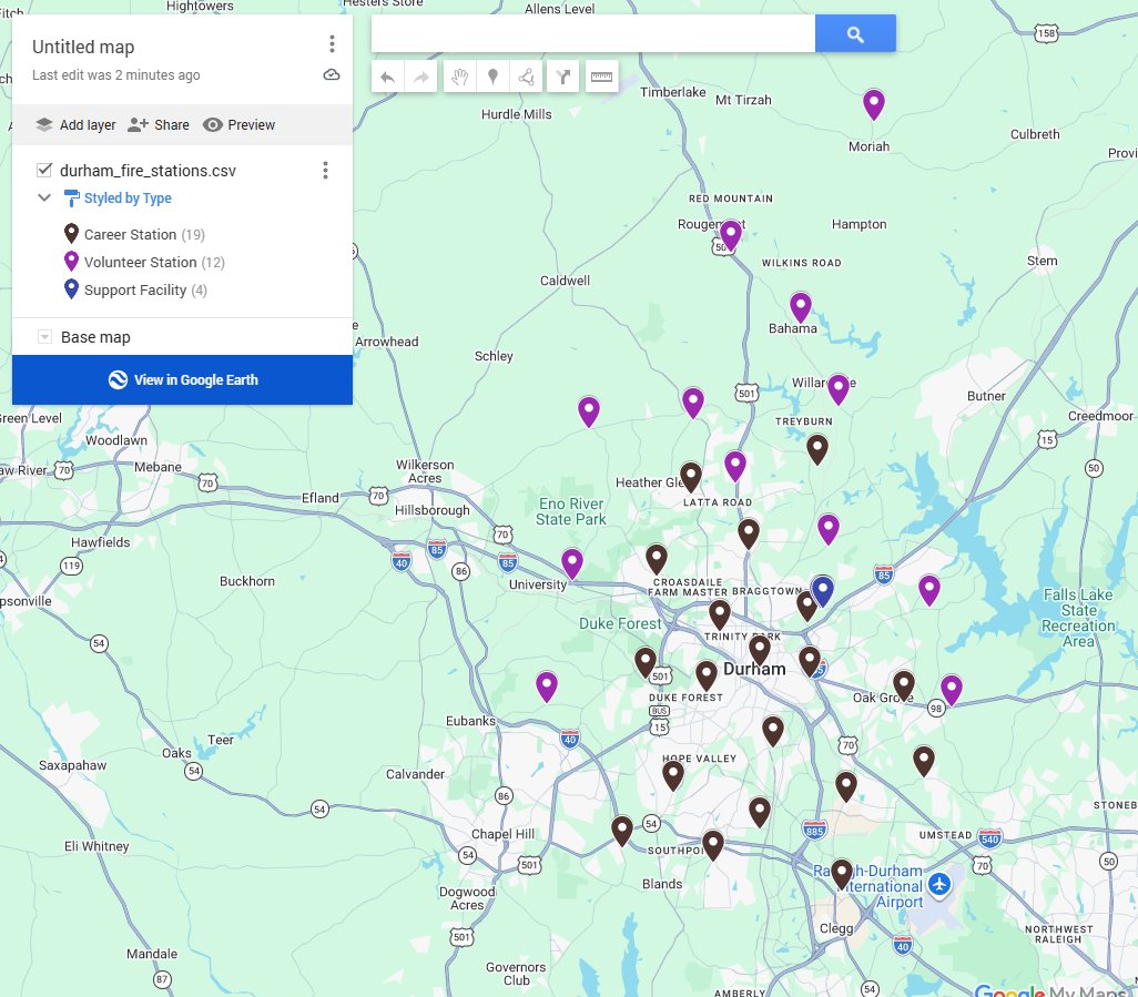
MyMaps then displays each Type in a different color.
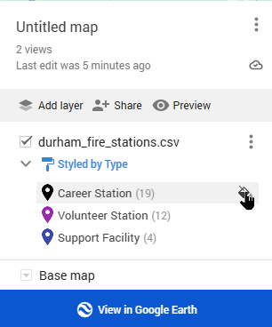
If you want to use a color other than the default for any column, hover your mouse over the far right of each category you want to change, and a paint bucket icon will appear.
Click the paint bucket icon to choose your new color.
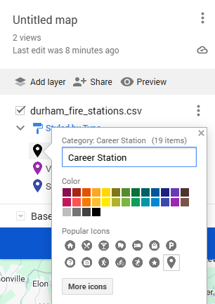
You can also change the pin icon if you like. I chose red for my pin color because, of course, Fire Stations!
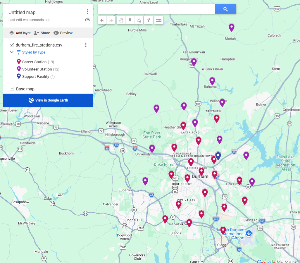
By this point, you probably want to name your map something other than “Untitled map.” To rename the map, click on the existing map name, and a window to edit the map title and description will pop up.
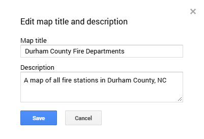
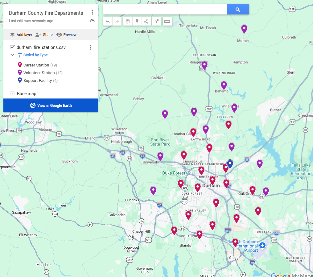
Change your map title and add a description, if you like, then click Save.
How could you use Google MyMaps?
How could you use MyMaps as part of your job?
I can envision a few areas where a visual map would be easier to use than deciphering a list of addresses. Obviously, this applies to optimizing meter reading routes, as I described above. It would also work for service orders to be completed today or for your cut-off list, especially if the cut-off list must be assigned to more than one field service technician. You could even color-code which accounts each service tech is responsible for.
There are personal uses, too!
When my wife and I travel, we like to have a map of the places we want to see. Last year, we did the Kentucky Bourbon Trail with two other couples, and as part of our pre-trip planning, I created a map of all the distilleries. As we decided which ones to visit, I color-coded them. Next year, for our 20th anniversary, we’re planning a trip to Italy. I already have a map of sights we want to see in Rome so we can organize our days.
Are you looking for creative solutions to everyday problems?
If you’re stumped by everyday problems, I can help you after completing a business review. Please give me a call at 919-673-4050 or email me at gary@utilityinformationpipeline.com if you would like more information.

© 2026 Gary Sanders